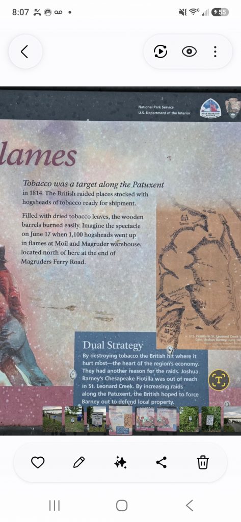
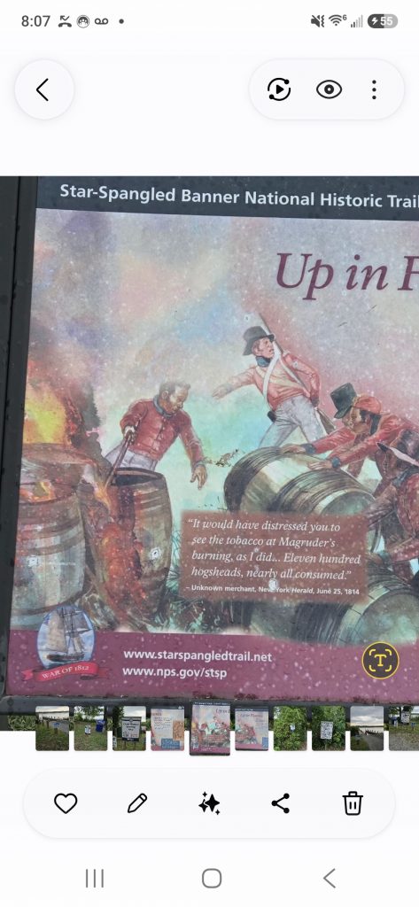
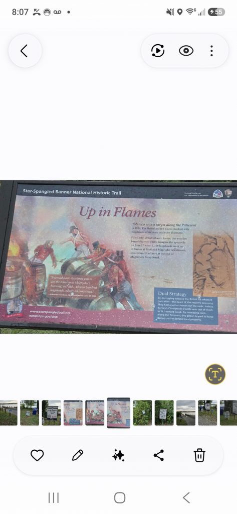
Tobacco was a target along the Patuxent in 1814. The British raided places stocked with hogsheads of tobacco ready for shipment. Filled with dried tobacco leaves, the wooden barrels burned easily. Imagine the spectacle on June 17 when 1,100 hogsheads went up in flames at Moil and Magruder warehouse, located north of here at the end of Magruders Ferry Road.Dual StrategyBy destroying tobacco the British hit where it hurt most—the heart of the region’s economy. They had another reason for the raids. Joshua Barney’s Chesapeake Flotilla was out of reach in St. Leonard Creek. By increasing raids along the Patuxent, the British hoped to force Barney out to defend local property.“It would have distressed you to see the tobacco at Magruder’s burning, as I did… Eleven hundred hogsheads, nearly all consumed.”– Unknown merchant, New York Herald, June 25, 1814 Erected by National Park Service, U.S. Department of the Interior.
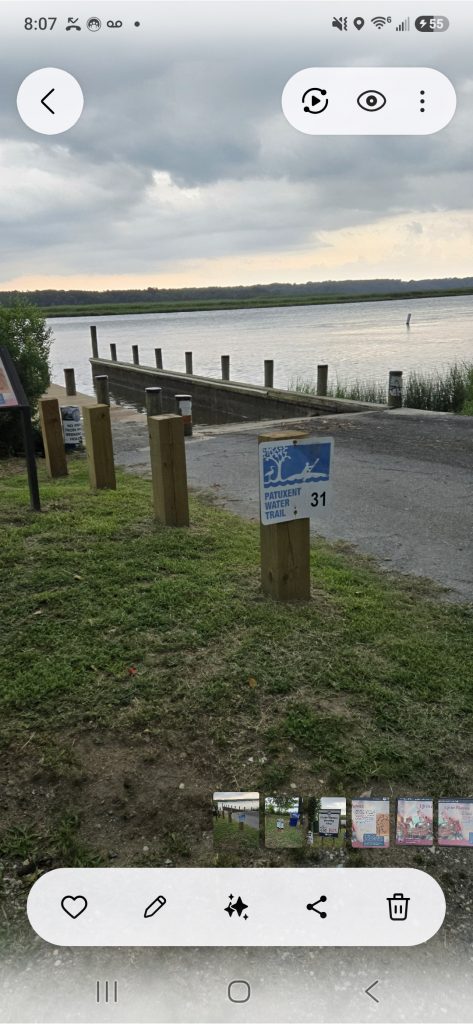
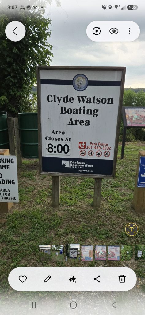
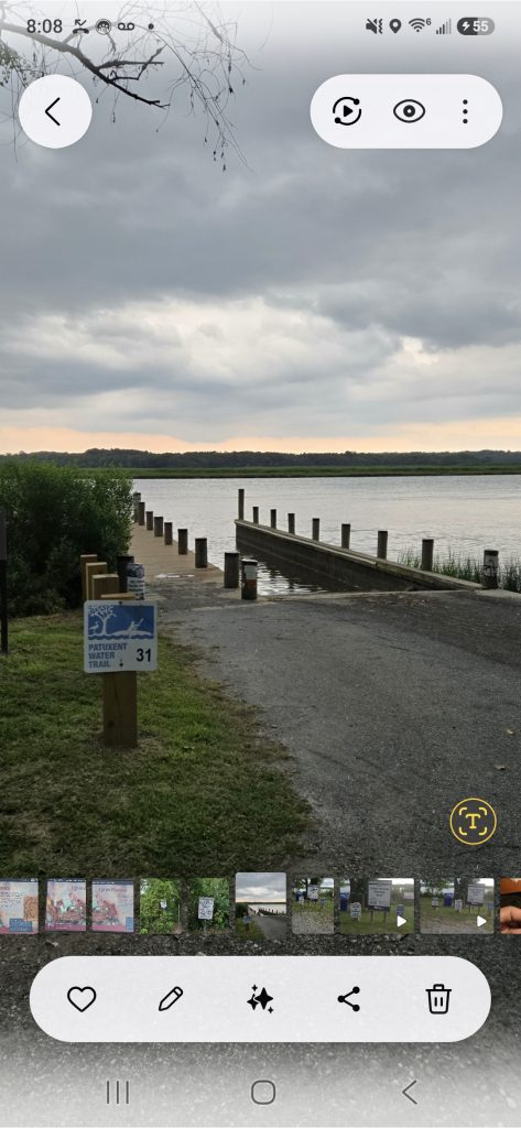
76° 41.655? W. Marker is in Brandywine, Maryland, in Prince George’s County. It can be reached from Magruder’s Ferry Road 1.1 miles east of Croom Road (Maryland Route 382), on the right when traveling east. Just before the gate on Magruder’s Ferry Road, enter the Clyde Watson Boating Area and follow road about 1000 feet to the pier. Touch for map. Marker is at or near this postal address: 17901 Magruder’s Ferry Road, Brandywine MD 20613, United States of America
Maryland.Department of Parks and Recreation Pr. Geo. County
https://www.pgparks.com/parks_trails/magruders-ferry-clyde-watson-boating-area
https://magruderslanding.com/maryland/anchovie-hills-magruders-tobacco-landing/
https://www.hmdb.org/m.asp?m=274117
https://www.nps.gov/stsp/index.htm
https://www.facebook.com/share/v/18oEgfAPrL/
#margrudersferry
#clydewatsonboatingarea
#brandywinemdcom
About the Author