Reel of MD 382 Bridge Closure added! https://www.facebook.com/share/r/18rsgQEnhM/
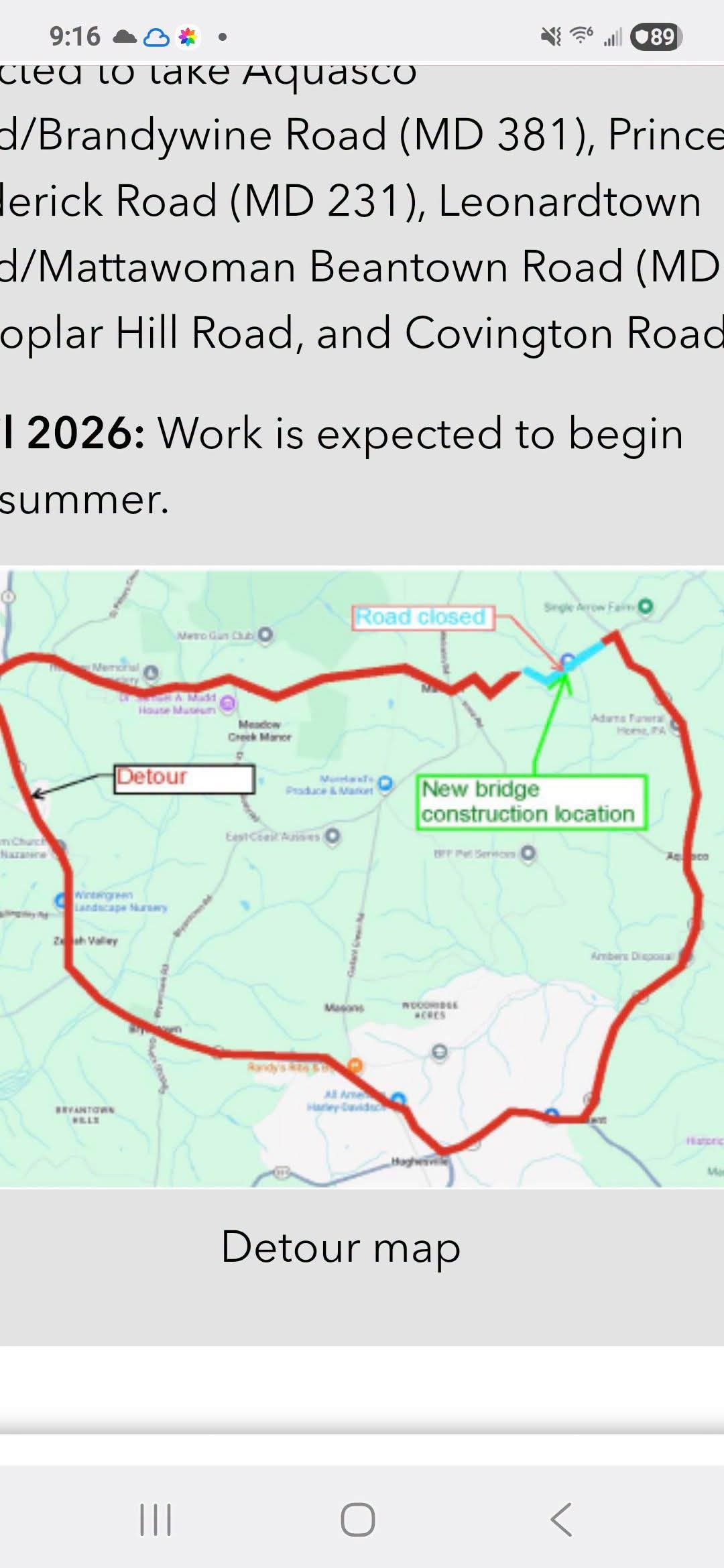
The demolition and replacement of the 63-year-old MD 382 (Croom Road) bridge over County Line Creek in Brandywine requires a full roadway closure and a two-month detour. Motorists are being diverted using Aquasco Road (MD 381), Prince Frederick Road (MD 231), Mattawoman Beantown Road (MD 5), Poplar Hill Road, and Covington Road.
The Detour Signs Are in Place For (MD 382) Croom Rd. and The Sand Bags Have Been Delivered.
The $6.4 million MD 382 (Croom Road) bridge replacement project over County Line Creek in Brandywine will require temporary stream diversion. To protect the waterway and keep the stream dry during construction, crews are installing sheet piles, cofferdams, and plastic liners to divert the creek around the work zone.
Croom Road is also known as Maryland Route 382. Running about 15.3 miles from the Charles-Prince George’s county line near Aquasco up to US 301 in Marlton, it is an officially designated segment of the Star-Spangled Banner National Historic Trail and Scenic Byway. Because this query references local info near La Plata, MD, here is what you need to know about navigating and exploring this scenic route:Route Details: The byway follows the road’s historical footprint, which traces the path British troops took in August 1814 as they occupied towns on their march to Washington, D.C. Historic Landmarks: The drive features well-preserved 18th- and 19th-century sites, including St. Thomas’ Episcopal Church and the Mount Calvert Historical and Archaeological Park (over 8,000 years of human culture). Nature & Recreation: The route passes right by Cedarville State Forest and the Jug Bay Natural Area, offering excellent access to hiking, biking, and wildlife viewing along the Patuxent River.
https://acrobat.adobe.com/id/urn:aaid:sc:VA6C2:dd9b0891-020e-43b1-9fc7-a699b92d07bf
Remember to schedule more time to plan for alternative routes and please follow Brandywine MDcom FB and Brandywinemd.com for more news.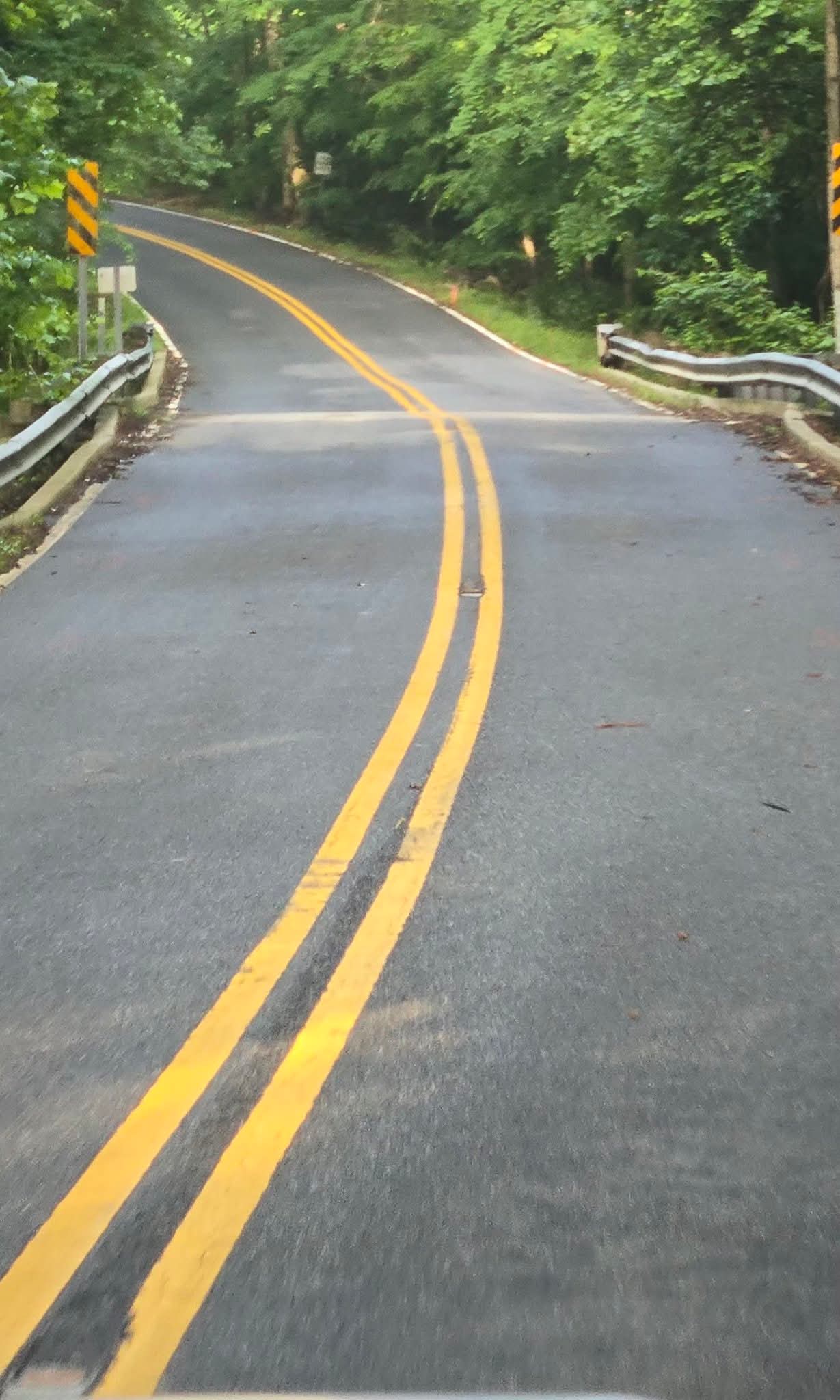


About the Author